
 United States
 United Kingdom
 Canada
 New Zealand
 Ireland
Eastern Australia storm forecast includes tornado risk and giant hail
Meteorologist Jonathan How explains why saturated ground heightens the flood threat, and why an El Niño outlook does not rule out heavy rain.
 AustraliaStory of
Why this story? One of ABC News (Australia)'s most watched videos since yesterday, with 41,260 views.
ABC News (Australia): The news division of the ABC, Australia's public broadcaster. 2.6M subscribers and 1.7B views.
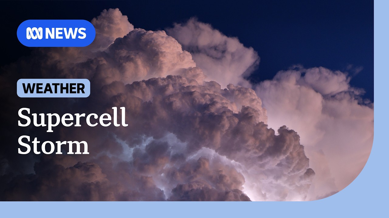 Rain, hail and strong winds as supercell storms bear down on east coast | ABC NEWS
Things we can learn from the video
Press to jump
- 0:32Heavy rain, large hail and damaging winds are forecast between Wollongong and Port Macquarie.
- 0:54Northern New South Wales and south-east Queensland face giant hail, locally destructive winds and flash flooding.
- 1:31How says tornadoes are possible, but specific warnings require confirmed evidence.
- 2:27Brief, intense rainfall could cause flash flooding because the ground is already saturated.
- 3:19The November 3 forecast places the system offshore that evening, with storm risk moving north the following day.
- 4:06El Niño does not rule out wet spells, even when hot summer temperatures are anticipated.
Tornadoes were a possibility, not a confirmed development, in Jonathan How's warning about severe thunderstorms across eastern Australia. The Bureau of Meteorology forecaster said conditions favoured high-end supercells, while stressing that specific tornado warnings required confirmed evidence.
Speaking from Melbourne in a November 3 interview with Australia's Australian Broadcasting Corporation (ABC), How identified northern New South Wales and south-east Queensland as the areas facing the most dangerous conditions that afternoon.
From Wollongong, south of Sydney, to Port Macquarie on the New South Wales coast, the forecast included heavy rain, damaging winds and large hail. Further north, the threats intensified to locally destructive winds, hail more than five centimetres across and flash flooding.
"We could see very dangerous thunderstorms developing from the afternoon through these areas here," How said.
The rainfall was expected to be brief but intense. How forecast falls of 30 to 50 millimetres and explained that the ground's existing condition mattered: north-east New South Wales and south-east Queensland were already saturated, increasing the risk of flash flooding when another downpour arrived.
His forecast put the system offshore by late Tuesday evening, with the storm risk shifting further north on Wednesday and hot westerly winds following. That was the expected progression described in the interview, rather than confirmation that the danger had passed.
How also challenged the idea that El Niño means uniformly dry weather. Wet spells can still occur, he explained, even alongside an outlook for hot summer temperatures. A seasonal climate pattern does not remove the possibility of an intense local storm.
Australia's government agency responsible for weather forecasts and meteorological services for Australia and neighbouring countries.
More on Wikipedia ›An Australian east-coast state whose capital is Sydney. It borders Queensland to the north.
More on Wikipedia ›A state in northeastern Australia, bordering New South Wales to the south. Its eastern coastline faces the Coral Sea and Pacific Ocean.
More on Wikipedia ›A coastal city in the Illawarra region of New South Wales, about 85 kilometres south of Sydney.
More on Wikipedia ›A coastal city on the Mid North Coast of New South Wales, about 390 kilometres north of Sydney, at the mouth of the Hastings River.
More on Wikipedia ›Published on Trari
Where next?



- Channel
- ABC News (Australia)
- Subscribers
- 2,640,000 ▲ 10,000 this week
- Channel views, last 7 days
- 7,288,977
- Channel views, pace per day
- 1,133,431 (on a normal day: 1,127,370)
- Video published
- November 3, 2026
- Video views so far
- 48,337 (less than a day online)
- Video views, pace per day
- 41,245
The numbers
The forecast interview drew about 41,000 views since yesterday.

💡 Test your knowledge
From which city does Jonathan How deliver this forecast?
How appears from Melbourne in the ABC interview.