
 United States
 United Kingdom
 Canada
 Australia
 New Zealand
 Ireland
Max Velocity's El Niño outlook points to a wetter South
His revised winter forecast separates southern storm risks from northern snow prospects, with nearly a million views since yesterday.
 Max Velocity - Severe Weather Center
Story of
No. 50 on the daily chartNo. 2 on the Science chart
Why this story? One of the most watched videos since yesterday, with 927,087 views.
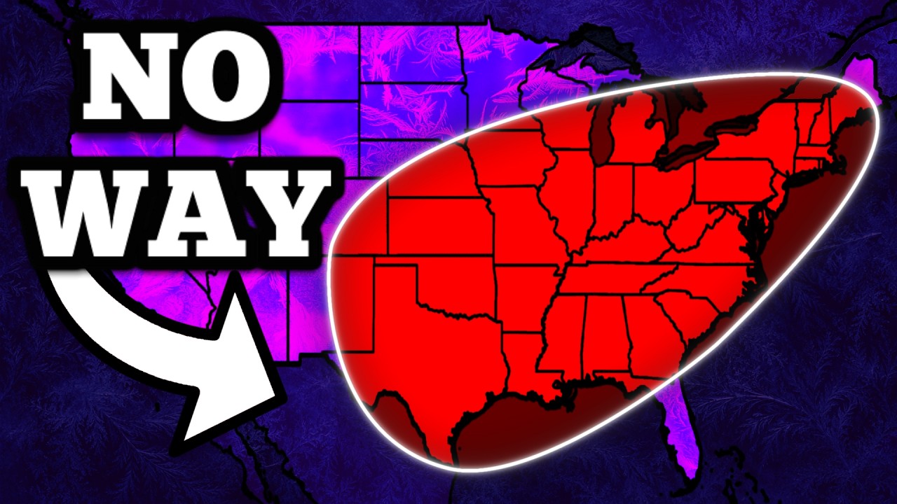 This Super El Niño Just Changed My Winter Forecast...
Next story: Max Velocity maps a polar vortex reunion over Scandinavia
Things we can learn from the video
Press to jump
- 0:46Velocity examines Pacific surface temperatures and the likelihood of El Niño reaching exceptional strength.
- 2:12Stored heat below the Pacific's surface can help sustain further El Niño strengthening, he explains.
- 2:47He links warmer Pacific water to a stronger southern jet stream and a more active southern storm track.
- 5:08Earlier strong El Niño winters inform his wetter South and West outlook, but also show important exceptions.
- 6:21His snow outlook favors reduced Upper Midwest totals and more uncertain outcomes along the East Coast.
- 7:55He highlights increased winter tornado and severe-weather risks for Florida and the Gulf Coast.
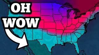
A stronger El Niño doesn't mean a snowier winter everywhere. In Max Velocity's revised outlook, the southern United States faces a more active storm track, while parts of the Upper Midwest could get less snow than usual. Along the East Coast, he says, the possibilities remain much less settled.
"This Super El Niño Just Changed My Winter Forecast..." has drawn about 927,000 views since yesterday. The meteorologist builds his argument from the Pacific upward: unusually warm surface water, more heat stored underneath, and the atmospheric response that can redirect storms across North America.
His central image is a southern jet stream turned into a "fire hose" aimed at the southern United States. He expects that pattern to favor wetter conditions across parts of the South and West, and flags increased winter severe-weather and tornado risks for Florida and the Gulf Coast.
For snow, the story is more complicated. Velocity uses earlier strong El Niño winters to explain why the Upper Midwest can miss out, while the Mid-Atlantic can swing between very different outcomes. A generally mild winter, he adds, can still contain short spells of serious cold.
The historical comparisons also supply his most useful caution. Looking back at a past event when Southern California largely missed the expected precipitation, he says it is "a good reminder that no El Niño is a sure thing." His forecast is about which patterns become more likely, not a promise of what will fall in any particular backyard.
Near the end, Velocity says NOAA expects the event to begin weakening in early 2027, before a possible transition toward La Niña later that year.
Published on Trari
Where next?


What do you think?
A question for readersWhat kind of winter are you hoping for where you live this year?
Want to know when somebody answers you?
 Is this your channel?For the channel's owners and team: a ready picture and text for your audience
Share the story with your audience. Everything is ready:
For an Instagram story or a WhatsApp status
For a community post or your channel's description
- Subscribers
- 2,230,000 ▲ 10,000 this week
- Channel views, last 7 days
- 5,965,657
- Channel views, pace per day
- 319,811 (on a normal day: 1,116,448)
- Video published
- November 15, 2026
- Video views so far
- 927,087 (less than a day online)
- Video views, pace per day
- 1,134,378
The numbers
The winter outlook has drawn nearly a million views since yesterday. Its viewing pace is in line with the channel's usual regular-video start.

💡 Test your knowledge
Which earlier strong El Niño winter does Velocity examine in this forecast?
Velocity includes the 1997-98 event among his historical comparisons for this winter's outlook.