
 United States
 United Kingdom
 Canada
 Australia
 New Zealand
 Ireland
Max Velocity maps a polar vortex reunion over Scandinavia
His forecast puts the first major pool of Arctic cold over Eurasia, rather than treating a disrupted vortex as an immediate U.S. freeze.
 Max Velocity - Severe Weather Center
Story of
Why this story? 1,153,004 views so far, and here is what is inside it.
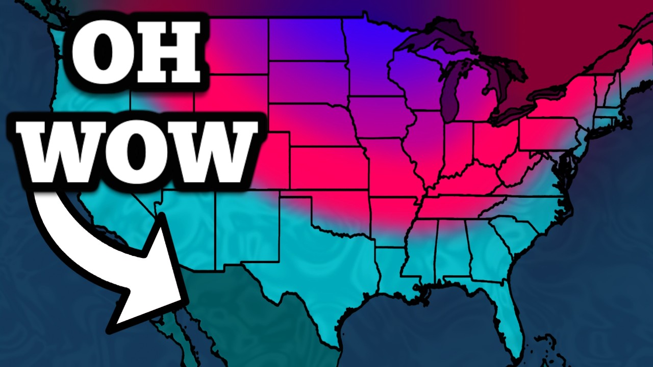 The Polar Vortex Just COLLAPSED...
Things we can learn from the video
Press to jump
- 0:43Velocity explains the vortex's split into pieces over Canada and Siberia as Arctic winds slow.
- 1:36His charts project the pieces merging over Scandinavia, with a possible unusually early wind reversal.
- 2:10The immediate cold pool is forecast mainly over Eurasia, rather than North America.
- 3:32He connects El Niño with past weakened vortices and the potential for cold outbreaks later in winter.
- 6:15The regional outlook includes East Coast storm fronts and atmospheric rivers reaching the Pacific Northwest.
- 10:52Future radar shows a localized severe-weather and tornado hazard along parts of the Carolina coast.
"The Polar Vortex Just COLLAPSED..." sounds like a cue to reach for the winter coat. But Max Velocity's November 6 forecast makes a more specific point: where the disrupted circulation goes matters as much as the disruption itself.
Using atmospheric charts, the meteorologist describes the vortex splitting into pieces over Canada and Siberia, then coming back together over Scandinavia. In his account, Arctic winds have slowed sharply, with a possible reversal that could produce an exceptionally early sudden stratospheric warming event.
That does not put North America first in line for the cold. Velocity says the cold air will initially pool largely over Eurasia. The distinction is the answer behind the dramatic title: a change high above the Arctic is not a timetable for freezing weather in every American backyard.
He then brings El Niño into the picture, explaining how past events have coincided with weaker polar vortices and how that could influence the chances of cold outbreaks later in the season. His projections for an exceptionally strong El Niño are presented as part of that developing outlook, not an observed winter outcome.
The video has drawn about 1.2 million views, but its practical detail comes in the regional forecast: Pacific Northwest atmospheric rivers, East Coast storm fronts and a temperature drop in the Ohio Valley. Near the end, he examines a localized severe-weather and tornado risk along parts of the Carolina coast in the November 6 forecast.
Published on Trari
Where next?


 Is this your channel?For the channel's owners and team: a ready picture and text for your audience
Share the story with your audience. Everything is ready:
For an Instagram story or a WhatsApp status
For a community post or your channel's description
- Subscribers
- 2,220,000
- Channel views, last 7 days
- 9,085,573
- Channel views, pace per day
- 1,404,161 (on a normal day: 1,179,882)
- Video published
- November 6, 2026
- Video views so far
- 1,153,004 (3 days online)
- Video views, pace per day
- 128,636 (on a normal day: 226,863)
The numbers
The forecast has passed a million views. The figures below show its audience alongside the channel's broader viewing activity.

💡 Test your knowledge
Where does Velocity project the two polar vortex pieces will merge?
His charts show the pieces over Canada and Siberia coming together over Scandinavia.