
 United States
 United Kingdom
 Canada
 Australia
 New Zealand
 Ireland
Max Velocity maps Florida's risk of another round of flooding
The forecast for eastern and central Florida became the most-watched regular video on More Max Velocity.
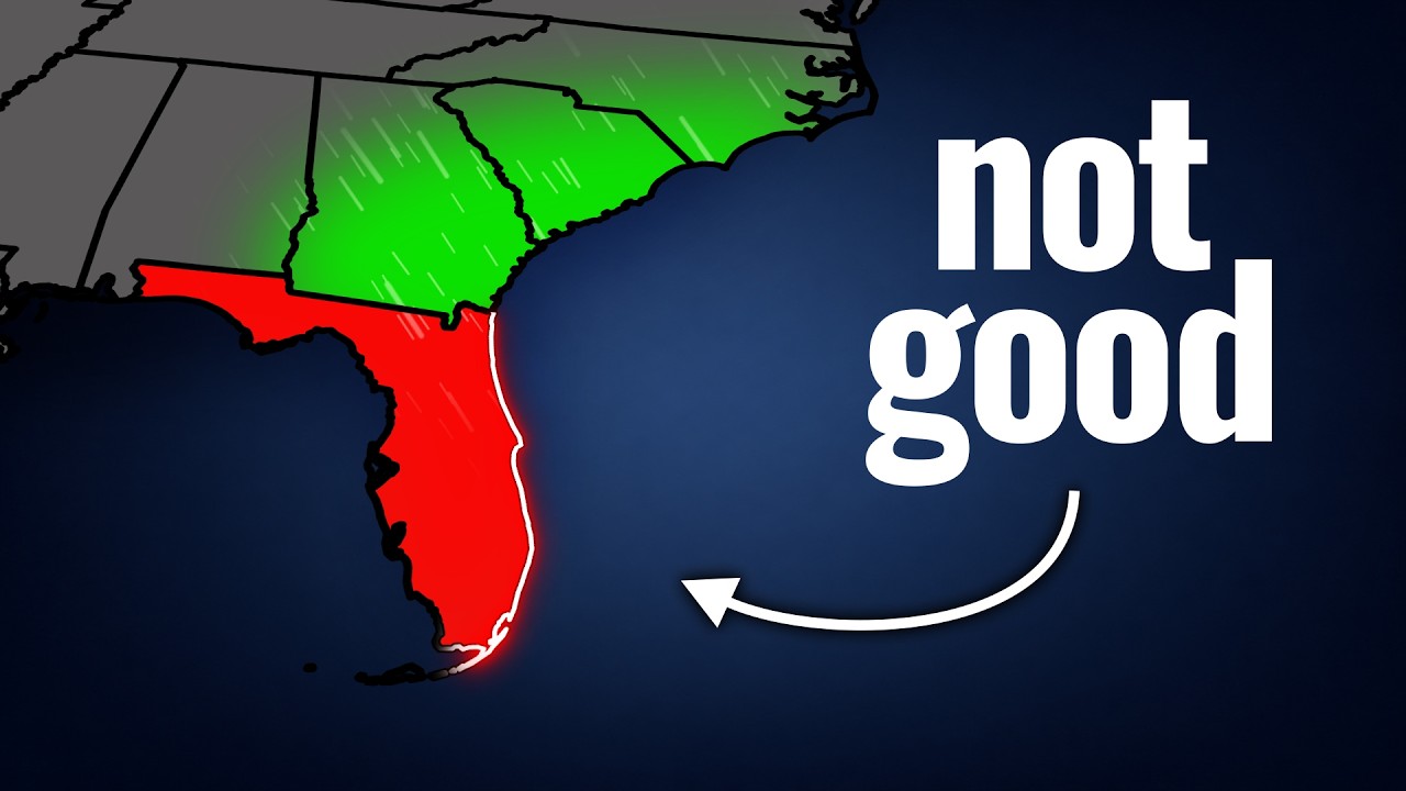 Florida Is NOT Ready For This...
Up next


 More Max Velocity
Story of
Why this story? The channel's weekly summary: what went up this week, what is drawing views now, and where the channel stands among similar channels.
Things we can learn from the video
Press to jump
- 0:32Palm Bay and Melbourne had already faced a flash flood emergency earlier in November.
- 1:52The St. Johns River near Cocoa is already near major flood stage.
- 2:54Rainfall outlooks show the areas at slight and moderate risk of excessive rain expanding through Saturday.
- 4:37Future radar shows thunderstorms moving ashore and potentially crossing the same areas repeatedly from Wednesday into Thursday.
- 7:01The forecast takes heavy rain into South and North Carolina by Saturday.
- 7:29Some model projections put coastal rainfall totals above ten inches.
The St. Johns River near Cocoa is already close to major flood stage when meteorologist Max Velocity turns to the next round of rain. In "Florida Is NOT Ready For This...", he rewinds to the flash flood emergency in Palm Bay and Melbourne, then uses future radar to show why the coast is vulnerable again: thunderstorms could pass over the same places repeatedly, piling fresh rain onto areas that have already had plenty.
The forecast drew more than half a million views, the most of seven uploads this week on the More Max Velocity clips channel. In the comments, Floridians checked in from places including Palm Bay and Gainesville, while a separate thread unpacked what a once-in-a-thousand-year flood means in terms of the odds in any given year.
The subscriber count sits at 100,000 with no fresh gain. Among similarly sized science channels, Live Science and Natalie Gray are each drawing views at their usual daily pace. On More Max Velocity, "This Storm Just Did Something UNEXPECTED..." is now picking up views faster than the Florida forecast, even though it has fewer overall. The week also made room for a look back: "The TERRIFYING Kankakee Tornado Of 2026..." uses storm footage and radar to retrace the March tornado from Illinois into northwestern Indiana.
Published on Trari
Where next?
What do you think?
Want to know when somebody answers you?
 For the channel's owners and team
Share the story with your audience
A ready picture for an Instagram story or a WhatsApp status.
Ready text for a community post
The videos drawing views on More Max Velocity right now
 You NEED To Prepare For This Storm...460,007 views · 2026-11-16
 Something BIG Just Changed In The Forecast...294,123 views · 2026-11-14
 This Storm Just Did Something UNEXPECTED...260,057 views · 2026-11-18
 This Storm Just Caused Something CRAZY...244,433 views · 2026-11-14
 The TERRIFYING Kankakee Tornado Of 2026...120,117 views · 2026-11-16
- Channel
- More Max Velocity
- Subscribers
- 100,000
- Videos published this week
- 7
- Video published
- November 17, 2026
- Video views so far
- 538,161
The numbers
Here are the week's uploads, their views, and where the channel stands on subscribers.
